

The Glebe
7 schools, 8 parks, 1 recreation centre and 5 bus routes
Old Ottawa South · Central Ottawa · Ottawa
Old Ottawa South sits along the Rideau River in central Ottawa. It has Hopewell Avenue Public School, Brewer Park with its arena and indoor pool, Windsor Park and the Ottawa South Community Centre on Sunnyside Avenue. In the 2021 Census, about 71% of its homes were built in 1960 or before, and about half were single-detached houses.
Old Ottawa South's City of Ottawa boundary, with its schools, parks and recreation centres, and O-Train stations within 1 km. Source: City of Ottawa open data (Ottawa Neighbourhood Study boundary; schools, parks and recreation facilities). O-Train stations: OC Transpo GTFS (November 2026), City of Ottawa Open Data Terms of Use. Map data © OpenStreetMap contributors.
At a glance
Counted within the neighbourhood boundary.
1 school
Hopewell Avenue Public School
See the list of schools3 parks
Brewer Park, Ottawa South Community Centre and Windsor Park Ottawa
See the list of parks3 recreation centres
Brewer Park Arena, Brewer Park Complex Pool and Ottawa South Community Centre
See the list of recreation centres4 bus routes
O-Train stations: Carleton (Line 2, about 0.4 km outside the boundary), Mooney's Bay (Line 2, about 0.8 km outside the boundary)
See the list of bus routesWhat the 2021 Census counted in the area: the kinds of homes people live in, and when they were built.
Sum of the 12 dissemination areas whose centre lies inside the City of Ottawa boundary "Old Ottawa South". Structural type: 100% data. Period of construction: 25% sample data. Counts randomly rounded by Statistics Canada.
Counted within the neighbourhood boundary.
Being near a school doesn't guarantee a place there: check the school board's own boundary tool.
Source: City of Ottawa Open Data: Schools (Open Government Licence – City of Ottawa) (opens in a new tab) · data dated
Source: City of Ottawa Open Data: Parks and Greenspace (Open Government Licence – City of Ottawa) (opens in a new tab) · data dated
Source: City of Ottawa Open Data: City Facilities for Recreation Activities (Open Government Licence – City of Ottawa) (opens in a new tab) · data dated
As mapped in OpenStreetMap. Check OC Transpo for current schedules and detours.
Source: OpenStreetMap route data, © OpenStreetMap contributors (ODbL) (opens in a new tab) · data dated
Source: City of Ottawa Open Data: Parks and Greenspace (Open Government Licence – City of Ottawa) (opens in a new tab) · data dated
Outside the boundary, within about 2 km of it. Not included in the counts above.
Source: City of Ottawa Open Data: City Facilities for Recreation Activities (Open Government Licence – City of Ottawa) (opens in a new tab) · data dated
Source: City of Ottawa Open Data: Schools (Open Government Licence – City of Ottawa) (opens in a new tab) · data dated
Stay on top of prices and sales in Old Ottawa South, with updates by email from Saeideh Shabani. Unsubscribe at any time.
There is one inside the boundary: Hopewell Avenue Public School (OCDSB). Other schools within about 2 km are listed on this page. Check each board's locator for a specific address.
Three: Brewer Park Arena (151 Brewer Way), the Brewer Park indoor pool (100 Brewer Way) and the Ottawa South Community Centre (260 Sunnyside Avenue).
Mostly older: about 71% of the 2,605 homes counted in the 2021 Census were built in 1960 or before. About 52% were single-detached houses, 13% semi-detached houses and 17% apartments in buildings under 5 storeys.
OC Transpo bus routes 6, 7, 10 and 18 have stops inside the boundary. Check OC Transpo for current schedules.
7 schools, 8 parks, 1 recreation centre and 5 bus routes
1 school, 9 parks and 15 bus routes
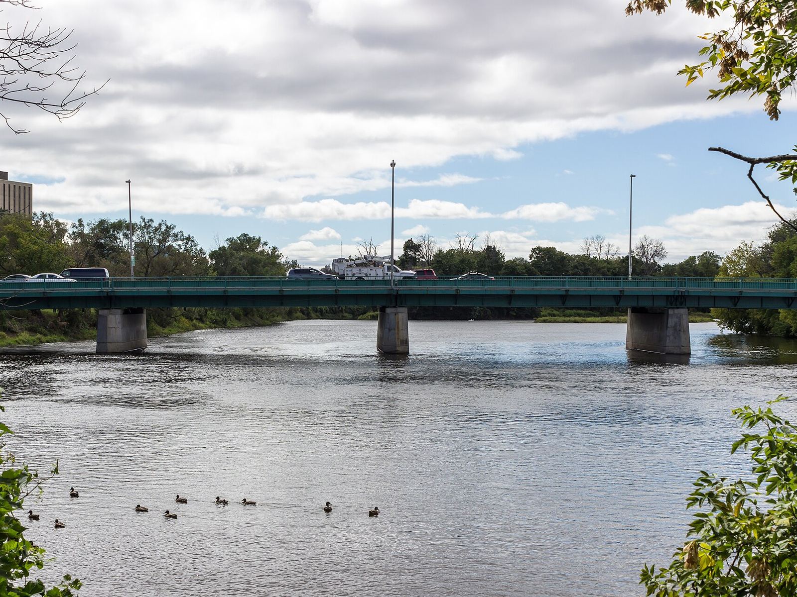
Photo: Billings Bridge, over the Rideau River · Matti Blume (opens in a new tab), CC BY-SA 4.0 (opens in a new tab)
2 schools, 3 parks and 18 bus routes
Last updated
Ask us anything about the area, the homes or the market. It's a friendly conversation, with no pressure.